Digital Twins and 3D Models
Digital Twins – A virtual Model of your building
Using latest Technology
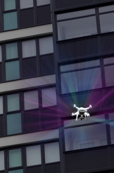
We use the latest Enterprise series drones to deliver the highest quality products
Centimeter accuracy
Our drones use RTK networks to achieve cm accuracy for our digital twins
10 years Experience
With 10 years experience with drones and over 25 years experience in Photography we have the knowledge and ability to deliver.
Digital Twins
A Digital Twin is a 3D model replica of a building(s) or an area of land/estate. The 3D models can be accessed online or exported into many formats suitable to import into CAD / Revvit / BIM
Outputs
OBJ, .las, .laz, .dxf, Point Clouds, Meshes and many more
Benefits
A highly detailed Digital Twin replica of your building(s) that can be viewed, shared, measured and imported into CAD, all from your desk at a low cost
Digital Twins / 3D Models / point clouds
Being able to create a Digital Twin / 3D model, or point clouds of your building, construction site or even map a large housing estate, offers huge benefits.
When we create a Digital twin of a building, we use RTK networks to ensure cm accuracy. This means that the users of the completed model can measure the building without leaving their
desk.
These models and point clouds can be imported into CAD and Revvit and converted for BIM
We use specialist drones to capture the data required to create the models.
High detail, high accuracy and low cost
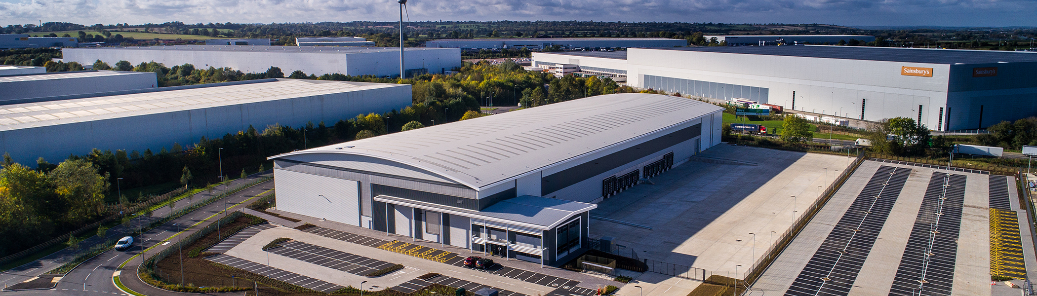
What type of buildings have we created Digital Twins for?
We can create a Digital Twin for any building. Whether the building is 2 stories or 22 stories, we can still create a high detailed 3D model.
Housing associations
Getting a digital twin of a High rise building offers huge benefits. You can look at the walls, the windows, the cladding and the roof without having to go to site. It can be made available online. Housing Associations look after many buildings so this is a great asset to have. These Digital Twins can be used to to support your BIM solution
National trust and heritage
Often hertiage buildings have complicated roofs and in accessible areas. This is where the Digital Twin and aerial surveys come into their own. The drones can zoom into hard to reach areas and offer high quality 3D models, videos and photos before any work might need to be addressed
Roofing,cladding and solar panel companies
Need the roof area measured to within centimetre accuracy before you put the scaffolding up? We can create a 3D model of the roof, supply Highly detailed videos and photos for you to inspect before any works start and the results delivered to your inbox
land / mapping
We can map and measure the land before any construction works are carried out. Create an online model that can be shared with colleagues and the construction planning team. Architects can use the model to add a newly designed CAD drawing to show what the completed project will look like. This would be centimetre level accuracy
councils / planning
Mapping a large scale area is easily done using drones. This maybe for conservation purposes, planning applications or showing where boundaries are between different areas of a town or city. High detail, high accuracy, low cost
some of our clients we have had the pleasure of working with..
Contact us
Whether you need a Digital Twin, some Aerial Photographs, progress videos of your construction site, we are happy to help.
Phone
07866522549
Address
Staffordshire, West Midlands